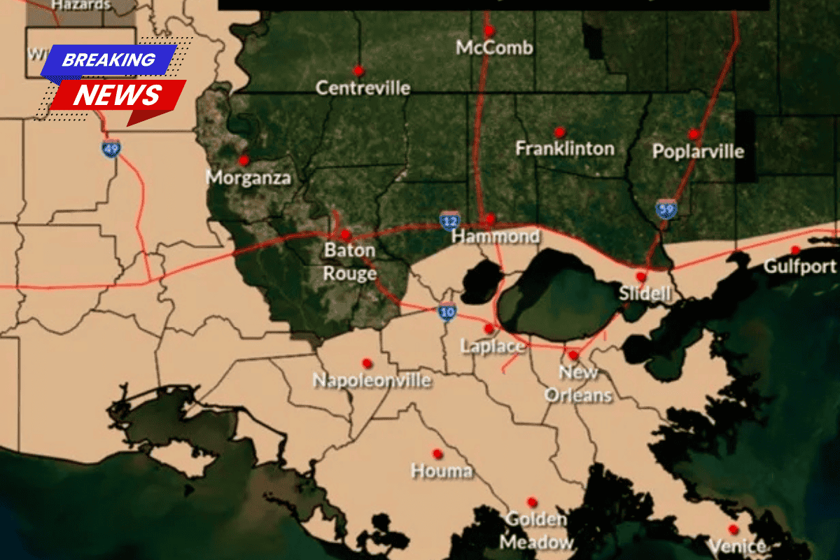
A strong cold front is heading towards Southeast Louisiana, bringing a dramatic temperature drop that will shock residents. According to WWL TV Meteorologist Payton Malone, the cold front will lead to a 60-degree temperature drop by Tuesday morning.
Sudden Temperature Change
Malone explains that temperatures will plummet from the mid-80s to wind chills in the 20s, leaving residents feeling the cold much more intensely. “It’s going to feel 60 degrees colder by Tuesday morning,” he said, warning people to prepare for a sudden shift in weather.
Winds and Thunderstorms Expected
While the cold front will bring windy conditions on Monday, the severe weather threat for the New Orleans area remains low. However, Sunday evening is expected to see warmer temperatures with a few thunderstorms.
Severe Weather for Northern and Central Louisiana
The rest of Louisiana will be impacted by a more severe weather system. Governor Jeff Landry issued a message to residents, highlighting that the severe system will likely affect northern and central parishes, bringing a high probability of high winds, hail, and the potential for tornadoes.
Power Outages Likely
The governor also warned that power outages may occur due to the severe weather, urging residents to stay weather-aware and take the necessary precautions.