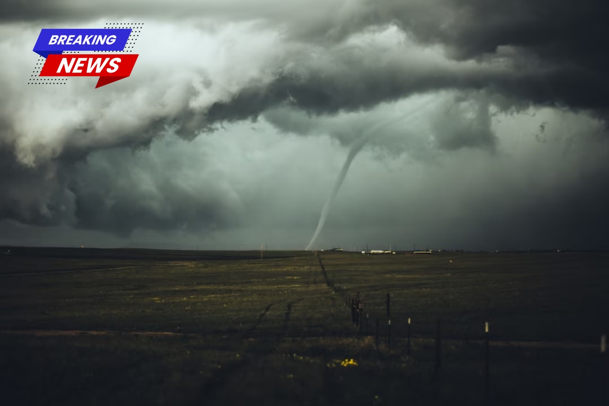
A Severe Thunderstorm Watch is in effect for a large part of Louisiana until 6 p.m. Saturday, as strong storms move across the state.
Severe Thunderstorm Watch Issued
The Storm Prediction Center issued Severe Thunderstorm Watch 241 at 10:15 a.m. CDT. The watch warns that conditions are favorable for severe thunderstorms capable of producing damaging winds, large hail, and frequent lightning.
Areas Covered
The watch includes the following Louisiana parishes:
Acadia, Avoyelles, Bienville, Caldwell, Catahoula, Concordia, East Baton Rouge, East Carroll, East Feliciana, Evangeline, Franklin, Grant, Jackson, La Salle, Lincoln, Livingston, Madison, Morehouse, Natchitoches, Ouachita, Pointe Coupee, Rapides, Richland, St. Helena, St. Landry, St. Tammany, Tangipahoa, Tensas, Union, Washington, West Baton Rouge, West Carroll, West Feliciana, and Winn.
Major cities included are Baton Rouge, Monroe, Alexandria, Hammond, Bogalusa, Opelousas, and Natchitoches.
Safety Precautions
Forecasters advise residents to stay alert for rapidly changing weather conditions throughout the afternoon and evening. Severe storms may bring:
- Strong wind gusts capable of knocking down trees and power lines
- Heavy rainfall leading to localized flooding
- Dangerous lightning
The National Weather Service urges residents to monitor local forecasts closely and be prepared to seek shelter if Severe Thunderstorm Warnings are issued.