Beijing, China – China is conducting a vast and strategic undersea mapping operation across the Pacific, Indian, and Arctic oceans to gather detailed data on marine conditions, which experts say will be vital for submarine warfare against the United States and its allies.
The Dong Fang Hong 3 Research Vessel
One of the key players in this effort is the Dong Fang Hong 3, a research vessel operated by Ocean University of China. According to ship-tracking data, the vessel has been actively mapping the seas near Taiwan, Guam, and parts of the Indian Ocean over the past few years.
This mapping includes using powerful ocean sensors to identify underwater objects and gather crucial data about the seabed.
In 2024, the Dong Fang Hong 3 focused on the seas near Japan and visited the region multiple times, including a trip in May 2025. The ship also mapped areas near Sri Lanka and Indonesia, vital for controlling access to the Malacca Strait, a critical shipping route.
China’s Civil-Military Integration
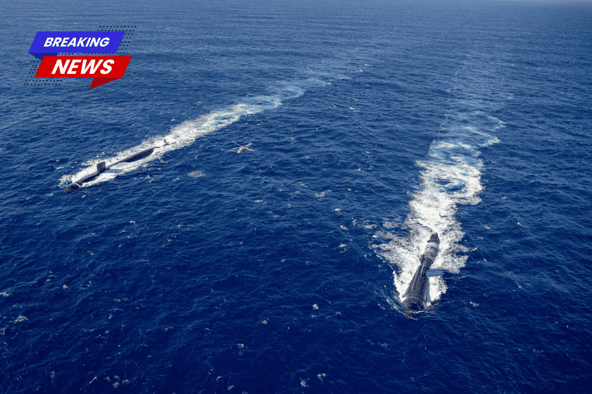
While the research is presented as scientific, including mud surveys and climate studies, the data is also strategically valuable for military purposes, particularly for China’s submarine operations. Experts say this type of deep-sea data is crucial for North Korea’s or China’s submarine navigation, positioning of subsea weapons, and hiding their vessels from detection.
The Chinese government’s civil-military fusion approach means that much of the research, while ostensibly scientific, is integrated with military technology. This enables China to use civilian research for strategic military advantages.
Wide-Ranging Ocean Mapping
China’s undersea survey effort involves a large number of research vessels and hundreds of sensors in the Pacific, Indian, and Arctic Oceans.
These efforts are essential for understanding underwater terrain and improving submarine navigation and anti-submarine warfare. The ships use sophisticated sonar technology and sensors to gather data on water temperature, salinity, currents, and subsea movements.
Areas of Focus
The surveying efforts have focused on militarily sensitive waters, especially around the Philippines, Guam, and Hawaii—key locations for U.S. military operations. Experts highlight that China is trying to enhance its submarine operations by mapping waters surrounding these regions.
Chinese Submarine Warfare and Naval Strategy
Experts such as Peter Leavy, a former naval attaché, say China’s mapping efforts reflect its desire to break out of the “First Island Chain”, a natural boundary formed by U.S. allies in the Pacific. The mapping of seabeds around Guam, Hawaii, and the Malacca Strait shows China’s increasing naval reach in contested waters.
Impact of Mapping on U.S. and Global Security
Experts warn that China’s mapping efforts are significantly weakening the U.S. Navy’s advantage in submarine warfare. According to Ryan Martinson, an expert on Chinese maritime strategy, China’s work threatens to erode the U.S. Navy’s edge in knowledge of the ocean battlespace, which it has traditionally relied on for submarine operations.
Strategic Value of the “Transparent Ocean”
The initiative, known as the “transparent ocean” project, was proposed by Wu Lixin, a scientist at Ocean University. It aims to deploy sensors across vast stretches of the ocean to give China an almost real-time view of maritime conditions. Experts worry that this kind of persistent surveillance could give China a significant advantage in detecting U.S. submarine activity.