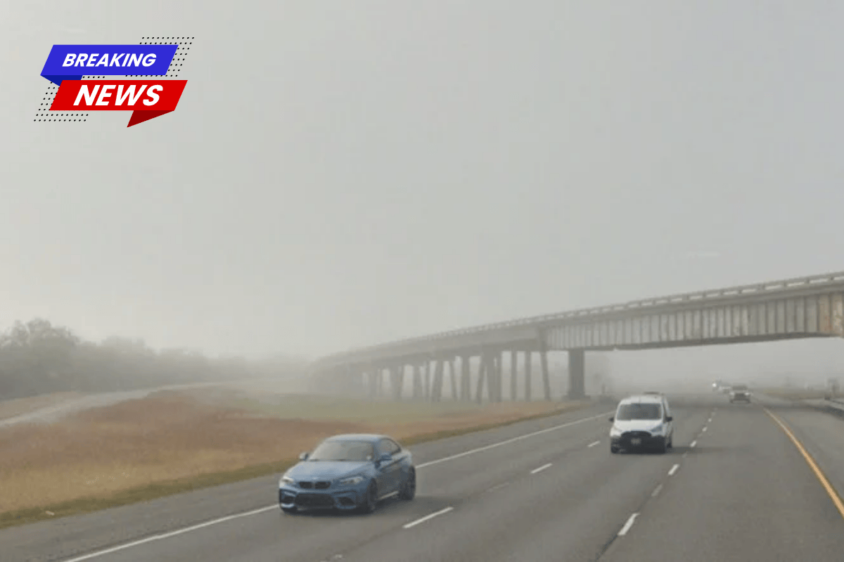
Today, New Orleans woke up to dense fog, humid air with temperatures in the upper 60s to near 70°F, and a soggy day ahead. Multiple rounds of showers and thunderstorms are expected, with the heaviest rainfall likely this morning and again in the early-to-mid afternoon.
The high temperature will stay around 72°F, and drivers should be prepared for slow commutes, especially in areas with heavy rainfall that may cause standing water on low bridges.
Timing and Local Impacts
Forecasters predict showers and thunderstorms before 9 a.m., with another active period expected around 2-3 p.m. By late afternoon, the storm activity will move towards the coast. Northwest winds of 5-15 mph will help keep temperatures in the low 70s.
If you’re out around lunchtime, be ready for brief heavy rain and lightning. This could slow down traffic, reduce visibility, and cause quick water buildup on low-lying roads.
Small Craft Advisory Tonight
A Small Craft Advisory will begin at 7 p.m. today and last until 7 p.m. Monday, April 6, 2026. With northerly winds strengthening and seas getting rough, north-to-northeast winds could gust up to 20-25 knots. This could make boating uncomfortable and potentially hazardous. Boaters should secure any loose equipment, double-check moorings, and consider postponing trips on open water tonight and Monday morning.
How to Plan Your Day
On the roads, be careful of dense fog early in the morning and sudden water buildup during stronger storms later. Driving slower and more defensively will help avoid trouble.
For more information on this week’s storm and boating conditions, check earlier reports. Remember to keep your phone charged, park on higher ground if possible, and move outdoor activities inside when thunderstorms approach.
Rest of the Week
Monday will be cooler with a high of around 68°F, but temperatures will rise again later in the week, reaching the mid to upper 70s by the weekend.
Forecasters are also warning about a stretch of easterly winds midweek that may raise coastal water levels, increasing the chances of minor flooding on east-facing shorelines. If you’re planning to spend time near the water, make sure to check for updated official forecasts.