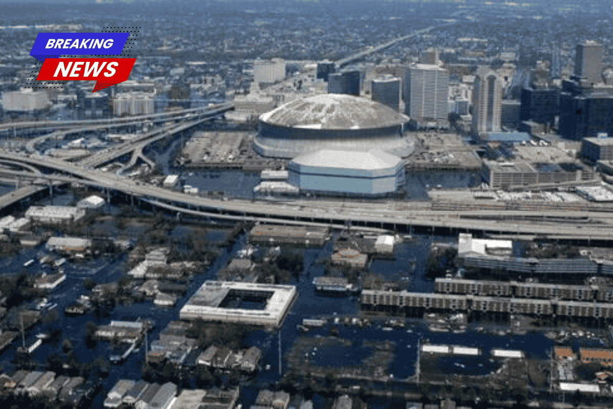
Greater New Orleans is sinking in several areas at rates that scientists say could pose challenges for the region’s long-term flood protection system. A new peer-reviewed study by researchers from NASA and Tulane University shows that some neighborhoods, wetlands, and even parts of floodwalls are dropping by more than an inch per year — with the worst areas nearing two inches annually.
Study Overview
| Detail | Information |
|---|---|
| Study Authors | NASA and Tulane University researchers |
| Published In | Science Advances |
| Region Studied | Greater New Orleans |
| Maximum Subsidence Rate | About 1.85 inches (47 mm) per year |
| Average Historic Rate | About 5 mm per year |
| Key Concern | Uneven sinking affecting levees and infrastructure |
Radar Technology Reveals Uneven Sinking
The research used advanced radar mapping to measure vertical land movement across the New Orleans region. Scientists discovered that the ground is not sinking evenly.
Some areas remain relatively stable, while others are dropping quickly. In the most affected zones, the land is sinking nearly two inches each year — about ten times faster than the historical regional average.
Researchers say the uneven pattern of sinking is especially concerning.
If an entire area sank at the same rate, engineers could design flood protection systems around that predictable change. But when one section of a floodwall drops while another remains stable, the resulting misalignment can create weak spots that are harder to detect.
The new study provides high-resolution maps that show these differences at a neighborhood level for the first time.
Areas With the Fastest Subsidence
The steepest sinking rates appear near industrial zones and major flood-control structures.
Earlier NASA radar research between 2009 and 2012 had already detected significant subsidence in parts of the region, with rates reaching up to two inches per year.
One notable hotspot lies along the Mississippi River near Norco, where industrial development sits on soft delta soils.
Another area of concern is the Bonnet Carré Spillway, a major flood outlet designed to protect New Orleans when the Mississippi River rises to dangerous levels.
Researchers found land near the spillway sinking by about 1.6 inches per year. When flood barriers themselves sink, their effective height decreases over time, potentially reducing their ability to protect surrounding communities.
Natural Causes and Human Activity
Scientists say two main forces are responsible for the sinking land in the New Orleans region.
Natural causes include the slow compaction of the Mississippi River delta. The area is built on young, water-rich sediments that gradually compress under their own weight.
However, human activity can speed up the process.
Factors contributing to faster subsidence include:
- Groundwater extraction
- Drainage that dries out organic soils
- Heavy industrial infrastructure
- Large buildings and levee systems
When groundwater is removed, pressure supporting the soil decreases, allowing the ground to compress more easily. Heavy structures can also concentrate weight in specific areas, accelerating the sinking.
Understanding which areas are affected by human activity is important because those factors can sometimes be controlled through policy changes or land-use planning.
Evidence From Decades of Data
Scientists have been monitoring subsidence in New Orleans for many years.
Data from the U.S. Geological Survey covering the period from 1951 to 1995 found an average sinking rate of about 5 millimeters per year in leveed areas.
Other studies suggested some locations could sink as much as one centimeter annually.
The new research shows that certain hotspots now exceed 47 millimeters per year — nearly ten times the historical average.
This suggests that while natural compaction continues, localized factors may be accelerating subsidence in specific areas.
Risks to Flood Protection Systems
The findings raise concerns about the long-term stability of the region’s flood protection infrastructure.
After Hurricane Katrina in 2005, the federal government invested more than $14 billion to strengthen levees, floodwalls, and pumping systems around New Orleans.
These structures were designed with precise elevations to prevent storm surge and river flooding.
But if land beneath them continues to sink unevenly, those carefully calculated heights may change over time.
A floodwall that initially met design standards could effectively become several inches lower within a decade. If neighboring sections sink at different speeds, small structural stresses or gaps could develop.
Such weaknesses might only become apparent during major storms.
Planning for a Changing Landscape
The high-resolution maps produced by the study could help engineers identify where subsidence is occurring fastest and prioritize maintenance or upgrades.
Experts say long-term monitoring will be critical.
Tools such as satellite observations, aircraft-based radar systems, and ground surveys can help track land movement and guide decisions about flood protection and infrastructure investments.
What It Means for Residents
For residents of Greater New Orleans, the research highlights that flood risk is constantly evolving.
Areas that appear safe today could gradually lose some of their protection as land levels change.
Experts say incorporating subsidence data into building codes, infrastructure planning, and insurance assessments will be important for managing future risks.