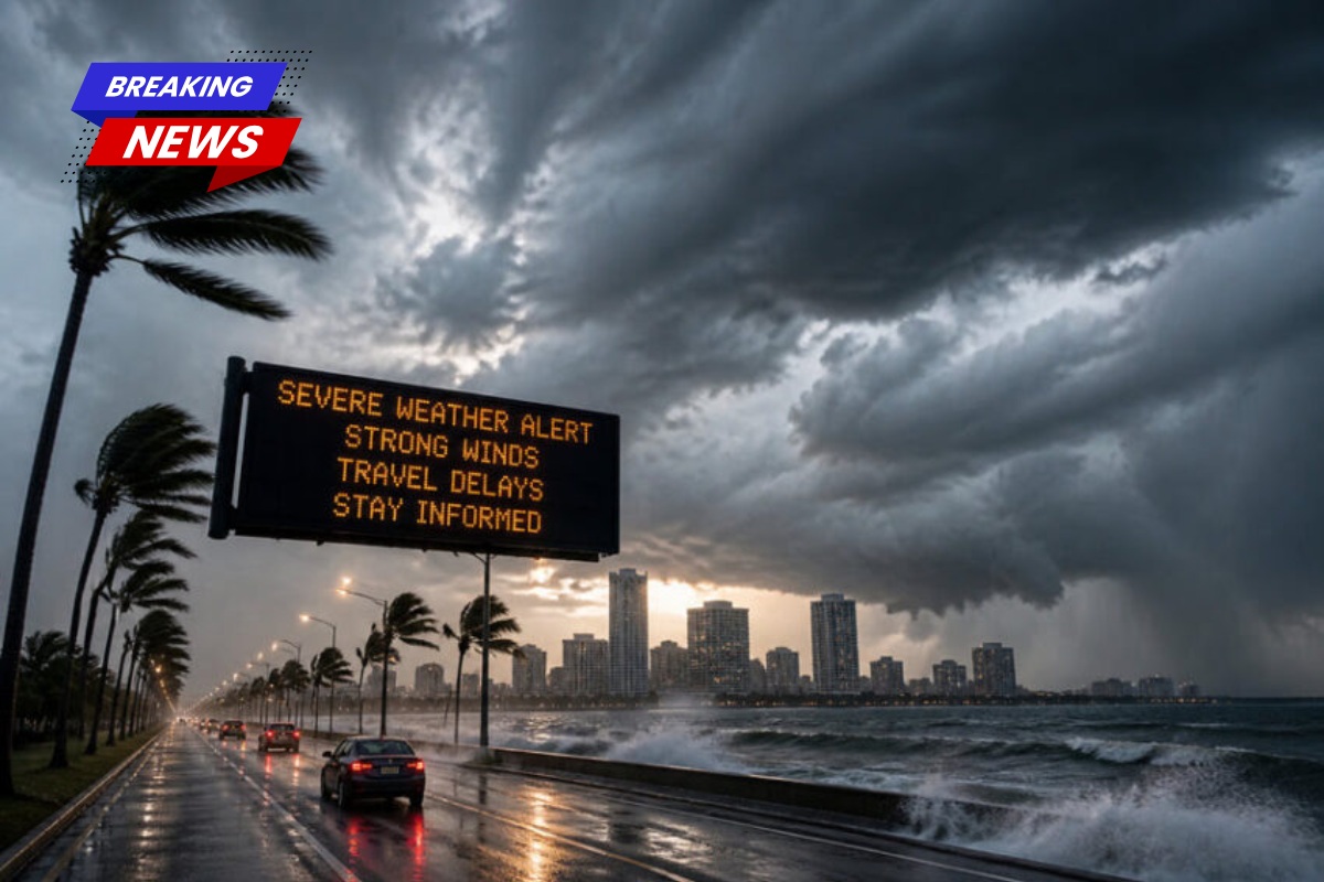
A strong, late-season cold front will push through New Orleans late Sunday into Monday, bringing a quick drop in temperatures along with strong winds and dry air. The National Weather Service (NWS) has issued a warning for the area, with a wind advisory in effect from 4 a.m. to 7 p.m. on Monday.
Quick Temperature Drop Expected
After temperatures rise into the 80s on Sunday, they are forecast to plummet into the mid-50s by Monday and Tuesday, as the cold front sweeps through the region. This sudden drop in temperature is expected to bring cooler, drier conditions to New Orleans and the surrounding areas.
Thunderstorms and Wind Advisory
Thunderstorms are expected to move through New Orleans Sunday evening into Monday, with the potential for gusty winds. The wind advisory will bring winds up to 40 mph, which, combined with the dry air, increases the fire risk in the area. The NWS also indicated there’s some uncertainty regarding the intensity and location of the thunderstorms, though the threat of severe weather remains.
Freeze Likely for North Louisiana, But Not New Orleans
A light freeze is anticipated for most of Louisiana overnight Monday into Tuesday. While freezing temperatures aren’t expected in New Orleans, the northshore has a higher chance of experiencing a brief freeze, especially in areas like Baton Rouge (with a 17% chance) and Lafayette (with a 24% chance).
Potential Damage to Crops
The NWS forecasters have warned that late-season freezes can be particularly damaging to crops and sensitive vegetation, advising residents to stay vigilant and protect any plants that may be at risk. Temperatures in the mid-50s will likely cause minimal damage in New Orleans, but it’s crucial for farmers and gardeners to be prepared in the event of frost.